
Elkhart County Neighbor Sources
A block lookup is assembled one parcel at a time. Beacon supplies geometry and property-card links. The Assessor card distinguishes the site from the owner's mailing address. Recorder instruments extend ownership backward, and public voter fields can add a separate registration clue. Civic groups describe community boundaries and contacts, not household membership.
| Source | What It Shows About a Block | Access |
|---|---|---|
| Beacon map | Adjacent parcels, roads, IDs, card links | Public dynamic map |
| Assessor cards | Owner, situs, mailing, values, transfers | One parcel at a time |
| Recorder | Instruments and ownership chain | Paid EON or office terminal |
| Voter records | Public registration fields and precinct | Individual portal or controlled request |
| Associations | Civic boundaries, meetings, contacts | City page; no member roster |
| Plats and Sanborn maps | Historic lots and buildings | Library, Surveyor, archives |
Ownership is not occupancy. A named owner may receive mail elsewhere, and a parcel can be vacant, public, common space, or a utility tract. Elkhart County neighbors cannot be identified reliably from a single owner row.
Map Elkhart County Adjacent Parcels
Use the Elkhart County Beacon map after locating the target property. The county research confirms parcel boundaries, named public and private roads, and daily address updates. It does not confirm a one-click radius, buffer, or neighbor export, so the sound method is to click and pan.
- Search the target address and open its map rather than stopping at the property card.
- Note the parcel outlines touching the front, sides, and rear, including road or alley gaps.
- Click each lot and record its parcel ID, address, legal lot or subdivision, and owner-card link.
- Open every card separately and mark vacant land, common areas, roads, and other non-house lots.
- Use the Recorder only when the question needs an ownership chain or recorded instrument.
This flow keeps each claim tied to its parcel. For every parcel along a named road, use the broader Elkhart County street directory workflow.
Note: Legal descriptions and parcel IDs are better tie-breakers than a mailing city label when official screens differ.
Read Elkhart County Owner Cards
A property record card can show owner name, parcel number, situs and mailing addresses, legal description, transfers, values, and improvements. The situs address locates the land. The mailing field shows where tax mail goes. Matching those two fields may suggest owner occupancy, but it does not prove who sleeps at the address or which relatives share the home.
- Parcel
- A tract tracked by the assessor under its own identifier.
- Situs address
- The physical location assigned to the parcel.
- Legal description
- The lot, subdivision, section, or boundary language that identifies land.
- Road frontage
- The parcel edge adjoining a named road or right of way.
County permits may name an owner or applicant and work address. They still do not list all occupants. Plats help identify common ground, drainage strips, and condominium property that might otherwise look like another household lot.
Elkhart County Address Boundaries
Elkhart County has four addressing authorities: the City of Elkhart, City of Goshen, City of Nappanee, and county Planning and Development for other areas. A county GIS source is updated daily, yet the correct office for a correction depends on the parcel's jurisdiction. This explains why a road name, city label, or assigned number can vary across official screens.
The Planning and Development GIS page is the fallback for map access and address-data questions. When a label conflicts, preserve the parcel ID, legal description, and source date. Those fields are more stable than a postal label.
Historical blocks require another layer. Compare present parcel geometry with plats, Sanborn fire-insurance sheets, old directory street lists, deeds, and permits. A changed road name or number can break a simple address search even when the underlying land stayed in place.
Elkhart Neighborhood Associations
The City of Elkhart identifies six established associations: Pierre Moran, Ground Keepers, South Shore Bridge St., Compton Block, Strong Ave., and Bent Oak. The groups are open to all and offer civic contacts, meetings, and local projects. The city does not publish a member directory, so an association name cannot be treated as a list of neighbors.
The City of Elkhart neighborhood page shows the association program and map.
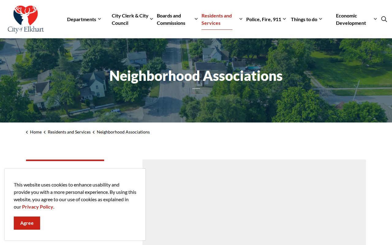
The page routes contact through neighborhoods@cityofelkhartin.gov, 574-294-5471, or 311. It is a community doorway, not a roster.
| Area | Public community layer | Limit |
|---|---|---|
| Elkhart | Six city-listed associations and city contact | No member names published |
| Goshen | Older guide names eleven associations | Current contacts not verified |
| Countywide | Town pages and recorded plat declarations | No official HOA member directory found |
Goshen Block Community Names
Goshen's older resource guide names Pickwick Village, Historic Dickerson Landing, Northside, Crescent Street, East Lincoln Crossroads, Historic Southside, Shanklin Millrace, Parkside, Rieth Park, Historic Racemere Peninsula, and Terrace Park. These labels can guide a search for meetings, public projects, or neighborhood history.
The guide's age matters. Current contacts and membership lists were not located in official sources. Verify an active group with the city before relying on an old boundary or contact. Congregations, watch groups, fraternal bodies, and civic clubs may have private rosters, but no public countywide database was found.
Public agendas, zoning cases, plats, cemetery edges, park boundaries, and business permits can still explain a block. They identify land use and public participation, not every resident.
Elkhart County Voter Block Limits
IndianaVoters provides an individual lookup, but no documented public block-browse mode. A permitted VRG-24 county file may include address and precinct fields. County policy, use restrictions, protected voters, and redaction review apply. The file never reveals ballot choices.
A no-result has several explanations. A person may be unregistered, inactive, registered elsewhere, entered under a different name, or protected by a confidentiality flag. Voter data should therefore remain separate from parcel ownership. It can support a limited identity check, but it cannot fill an entire household.
Indiana's Address Confidentiality Program can hide identifying voter fields for qualifying participants. The county office handles the flag after the participant supplies the required notice. Deliberate gaps protect people and must not be worked around.
Official Elkhart Neighbor Records
Official rolls are narrower than commercial neighbor tools, but their custody and meaning are clearer. Beacon reports assessed parcels. The Recorder reports instruments. The Clerk administers voter records. City pages report civic contacts. A commercial report may merge stale or mismatched names without showing which office supplied each fact.
| Choice | Strength | Weakness |
|---|---|---|
| Official custodian | Defined fields, correction office, dated record | Several searches may be needed |
| Commercial category | May combine many clues | Unclear matching, stale addresses, varying costs |
Use the custodian first. Note whether a name is an owner, voter, applicant, officer, or historic resident. Those roles are not interchangeable.
Elkhart County Public Safety Channel
The Indiana Department of Correction says neighborhood associations may request information about registrants near an association or ask for instructional material. That controlled public-safety route has a defined purpose. It is not permission to assemble or publish private profiles of a block.
The Indiana registry information page explains the official program.
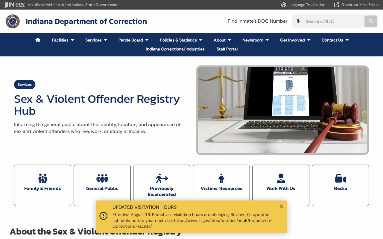
Use current agency guidance and its disclaimer. Similar names and old addresses should never be treated as identity proof.
Privacy for Elkhart County Neighbors
A parcel card identifies an owner and tax mailing data, not all people at the address. Public voter records omit protected fields and ballots. Permits may identify an applicant, but not a household. Utility, delivery, medical, school-student, motor-vehicle, and private association member data are not ordinary public block records.
Lawful use. Research Elkhart County neighbors for civic participation, reconnecting, property curiosity, or personal safety. Never watch, harass, threaten, or intimidate a person.
Sealed court records, confidential vital and adoption files, and Address Confidentiality Program records create necessary gaps. Respect those limits. If an official source is wrong, send the correction to that custodian rather than repeating the error.