
Elkhart County ZIP Coverage
Eighteen ZIP codes have documented Elkhart County intersections or core local use. Some cover a city center, some use an alternate mailing label, and several extend into neighboring counties. Percentages below come from the cited state and Indiana Business Research Center intersection study and should be treated as historical geography. The USPS ZIP Code Lookup is the final check for a current address.
| ZIP | Areas covered | Post office label | Boundary note |
|---|---|---|---|
| 46507 | Bristol area | Bristol | County route; verify exact address |
| 46514, 46516, 46517 | Core Elkhart areas | Elkhart | City and county records may differ |
| 46515 | Alternate Elkhart mail | Elkhart | Possible PO-box use; verify type |
| 46526, 46528 | Goshen and county seat | Goshen | County offices and Goshen sources |
| 46527 | Alternate Goshen mail | Goshen | May not map to a neighborhood |
| 46530 | Granger edge | Granger | About 9% Elkhart in cited table |
| 46540 | Middlebury area | Middlebury | About 88.9% Elkhart |
| 46542 | Milford edge | Milford | About 3.6% Elkhart |
| 46543 | Millersburg area | Millersburg | About 74% Elkhart |
| 46550 | Nappanee area | Nappanee | About 51.9% Elkhart |
| 46553 | New Paris area | New Paris | Fully Elkhart in cited table |
| 46561 | Osceola edge | Osceola | About 6.4% Elkhart |
| 46567 | Syracuse edge | Syracuse | About 32.7% Elkhart |
| 46573 | Wakarusa area | Wakarusa | About 55% Elkhart |
| 46767 | Rare county edge | Verify with USPS | About 4.9% Elkhart |
A mailing ZIP outside this list may appear in an owner's tax-mail field without describing the parcel location. Do not expand the county table from mailing records alone.
Elkhart County ZIP Edge Cases
The ZIP code directory's most useful fact is that nine documented routes intersect another county: 46530, 46540, 46542, 46543, 46550, 46561, 46567, 46573, and 46767. A Granger or Osceola label may lead into St. Joseph County. Middlebury and Millersburg can reach LaGrange County. Milford and Syracuse can cross toward Kosciusko County. Wakarusa crosses toward St. Joseph County. The familiar city name is not enough.
Pair two official answers. USPS standardizes the delivery line. Elkhart County Beacon verifies whether the parcel is actually in this county and supplies its situs and parcel number. If Beacon finds no parcel, check the neighboring county assessor rather than forcing an Elkhart result.
Boundary rule. USPS controls mail normalization; parcel identification and legal description control the county records search.
Find Elkhart County Residents by ZIP
No official research source documented a public ZIP-wide filter in Beacon, Tapestry EON, or Indiana Voters. A responsible ZIP code directory workflow narrows a known address or name rather than claiming to export everyone in a route.
- Verify the full street, city, state, and postal code with USPS. Keep the standardized spelling and ZIP+4 when returned.
- Search the street address in Beacon. Read the situs separately from the owner's tax-mail address and record the parcel county.
- For a known person, check the Indiana Voters portal through its individual workflow. Its public ZIP and bulk-browse controls were not captured.
- If the goal becomes a whole named road, move to the Elkhart County street directory workflow and inspect parcels one by one.
- For a missing open record, contact the correct custodian or make a focused Indiana APRA request. Give the address, person, date range, record type, and desired format.
A ZIP narrows geography. It does not prove current residence, ownership, or city jurisdiction. Cross-check each result with the record that actually makes that claim.
Elkhart County ZIP Search Modes
Local and state portals treat ZIP codes differently. The assessor guide limits its documented modes to owner, address, and parcel. Recorder EON works through party, document, date, type, consideration, parcel, subdivision, and tract criteria. Indiana Voters is an individual lookup. Three statewide systems visibly accept ZIP input, but they answer narrower questions about businesses, professional licenses, or unclaimed property.
| Portal | ZIP field | What it searches | Use with care |
|---|---|---|---|
| Beacon | Not documented | Owner, address, parcel | Do not promise ZIP export |
| Tapestry EON | Not documented | Recorded land instruments | Search party or parcel instead |
| Indiana Voters | Not captured | Individual registration | Protected voters remain hidden |
| INBiz | Yes | Business entities | Business address, not household |
| PLA Search & Verify | Yes | Professional or facility license | License record only |
| Indiana Unclaimed | Yes | Unclaimed property names | Last-known address context |
The lack of a captured ZIP field is not proof that a dynamic portal never changes. It means the current public instructions do not support a claim that an Elkhart County ZIP code can be browsed as a resident list.
Beacon and Elkhart County ZIPs
The Assessor announced a move from Elevate to Beacon on November 15, 2024, with active users moving December 4. The current official guide tells users to open Search, choose owner, address, or parcel number, and then open the map or property record card. Old bookmarks and memories of Elevate controls may no longer match.
The Assessor GIS information page documents that transition.
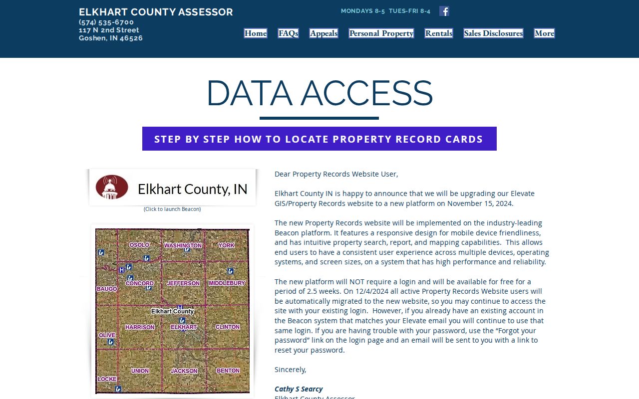
The current gateway is the right place to confirm access before pairing a postal address with a parcel.
Beacon distinguishes the situs address from the owner mailing address. A 46527 or 46515 mailing entry may be a PO box or alternate mail route and need not describe the physical parcel's ZIP.
Elkhart County ZCTA Numbers
A Census ZIP Code Tabulation Area, or ZCTA, is a statistical shape built from census blocks to approximate point-based postal routes. It is not a legal postal boundary. Population or land-area figures for a ZCTA should not be called an exact count of all people served by the corresponding ZIP code.
The Census ZCTA explanation is pictured below.
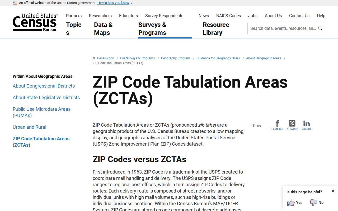
Use that layer for broad statistics and map context, then use USPS for a delivery address and Beacon for the parcel county.
Elkhart County counted 207,047 residents in the 2020 Census across 463.16 square miles, with a 2025 estimate of 208,774. Those county totals describe county geography, not any single postal route.
Read Elkhart County Address Types
One property may carry several address forms. Mixing them is a common source of false matches in a ZIP code directory. The legal description connects deeds and surveys; the situs locates the parcel; the mailing line tells the tax office where to send owner correspondence; USPS standardizes delivery.
- ZIP code
- A USPS delivery routing code, not a city or county boundary.
- ZIP+4
- The base five digits plus four digits that narrow delivery to a segment or recipient.
- PO-box ZIP
- A code or usage tied mainly to post-office boxes rather than mapped homes.
- Unique ZIP
- A code assigned to one high-volume organization; none was confirmed locally in the research.
- Carrier route
- A mail-delivery sequence within a ZIP, not a public household roll.
No confirmed countywide ZIP split or realignment year was found. Verify any claimed change through USPS address information or local postmaster records instead of inferring it from old directories.
Private Elkhart County Address Data
Motor-vehicle address data is controlled by federal and state access rules, not opened as a ZIP-based residents directory. Utility customer lists, delivery-route records, school-student data, medical files, and private membership rolls are also not general public sources. Indiana's Address Confidentiality Program can replace a participant's public-facing address, and protected voter records must remain hidden.
The Indiana BMV data programs page shows the restricted access framework.
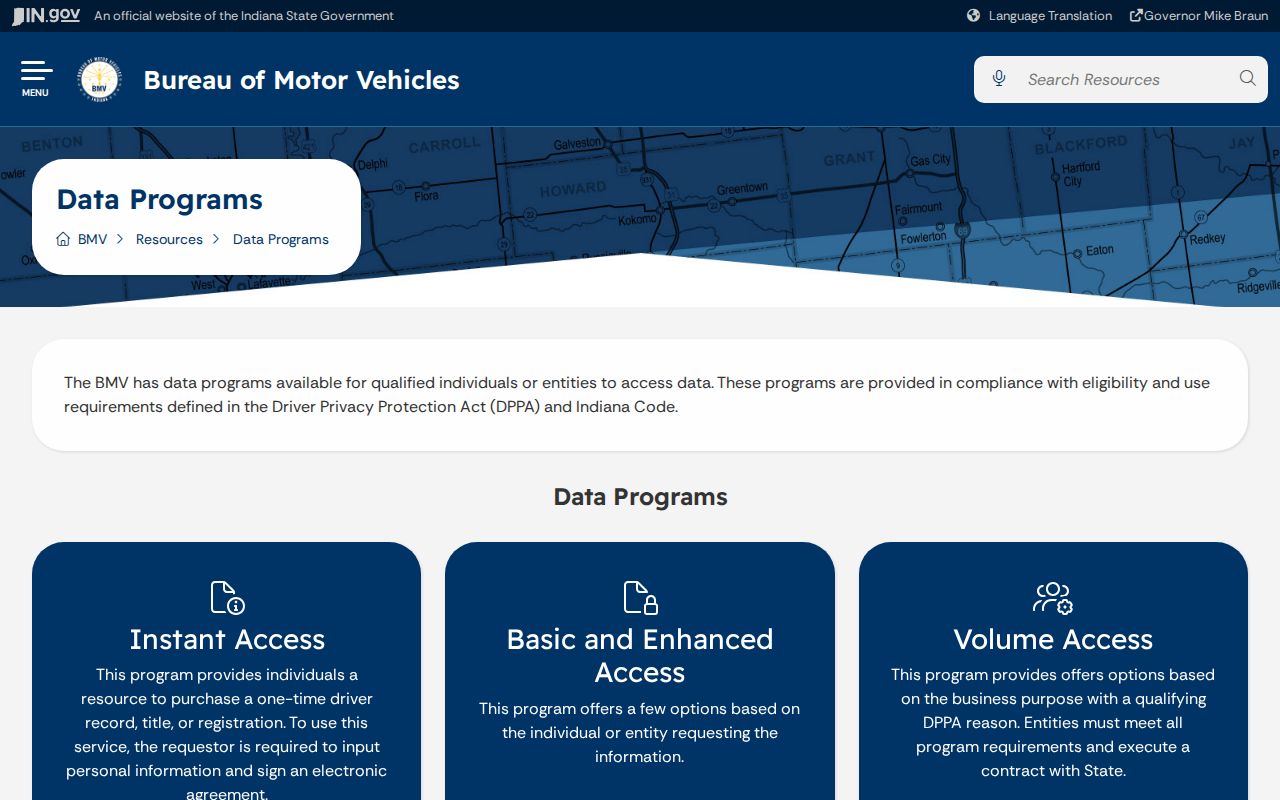
Its limits help explain why a postal code cannot lawfully unlock every personal address record.
Use open records for family research, reconnecting, property questions, scam avoidance, or civic review. Confirm matches with the custodian and respect deliberate gaps.
ZIPs Versus Elkhart County Limits
Elkhart County's named municipalities include Bristol, Elkhart, Goshen, Middlebury, Millersburg, Nappanee, and Wakarusa. Unincorporated roads use county and town addressing channels. A postal city label does not prove incorporation into that city, and a parcel can remain in Elkhart County while using a post office associated with another county.
For a precise records search, preserve four facts: the USPS-standardized address, Beacon situs, parcel identifier and county, and the legal description. Add the municipality only after the map or responsible office confirms it. That sequence resolves the mismatch at the heart of the Elkhart County ZIP code directory.
Note: ZIP geography routes mail, while parcel and municipal geography determine which local office is likely to hold an address record.