
Walk an Elkhart County Street
A sound street search separates ownership from occupancy. Begin with the county parcel system because an address search can return the parcel number, owner name, situs address, and property record card. Situs means the parcel's physical location. The owner's mailing address may be elsewhere and does not prove where that owner lives. Preserve both fields.
Use this order for a repeatable street directory search:
- Enter the normalized address in Elkhart County Beacon Search. Record the parcel number, situs, owner, legal description, and transfer details.
- Choose View Map and click parcels along the road. Open each card separately because no public one-click street export is documented.
- Search the current owner as grantee and grantor in the Recorder index. Match deeds by parcel, subdivision, tract, or legal description.
- Check an individual registration through Indiana's voter portal, or ask the county office about a lawful VRG-24 file request.
- For earlier households, consult reverse directories, Sanborn maps, plats, and the Elkhart County city directory collections.
The chain is address to parcel, parcel to owner, owner to instrument, then address to other public evidence. No result identifies everyone in a home.
Elkhart County Address Search Fields
The assessor's official Beacon guide documents three search modes. Autocomplete may show several matches; a unique match opens detail. The map and property record card PDF preserve facts needed for deed or survey work. ZIP-wide export, advanced sorting, and result limits were not visible in official material.
| Beacon control | Input | Purpose | Known limit |
|---|---|---|---|
| Owner | Name | Find parcels tied to an owner | Partial rules not published |
| Address | Street text | Match a situs address | Normalize direction and suffix |
| Parcel Number | Full ID | Open the stable parcel record | Exact format guide incomplete |
| View Map | Link | Place parcel in context | No documented block export |
| Property Record Card | Save assessment and transfer fields | Not a title guarantee |
The assessor announced its move from Elevate to Beacon in November 2024, with active accounts moving in December. Old saved links may fail, so use the current county gateway.
Four Elkhart County Address Authorities
Elkhart County's address layer has one daily Planning and Development data source, yet corrections pass through four groups. City of Elkhart GIS handles its area, Goshen Planning and Zoning handles Goshen, the Nappanee City Planner handles Nappanee, and the county technician covers Bristol, Middlebury, Millersburg, Wakarusa, other towns, and unincorporated land. The Auditor maintains parcel geometry. This split explains why postal, parcel, and service labels may differ.
Visit the county GIS and addressing page before reporting a mismatch.
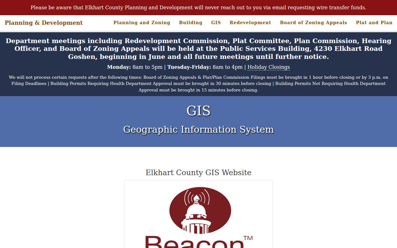
The page supplies map, correction, and records-request routes when the viewer cannot settle an address. Official plan material confirms parcel boundaries, named roads, the county boundary, and daily updates.
Note: An address correction contact fixes government data; it is not a resident lookup service.
Elkhart County Street Record Layers
Different records answer different questions. The parcel card describes assessment and current owner fields. A deed records a transfer. A permit dates work. Voter information can confirm a public individual registration. Older directories and maps can connect a past address to an occupant or building.
| Address source | What it shows | Access | Caution |
|---|---|---|---|
| Beacon card | Owner, situs, mailing, value, transfer | Online search and PDF | Owner is not every occupant |
| Beacon GIS | Parcels, roads, boundaries | Online, parcel by parcel | Advanced tools undocumented |
| Recorder | Deed parties, dates, legal description | EON, Laredo, office computer | Images may cost |
| Planning | Permit address, date, work type | Monthly files or request | Not a household list |
| Voter record | Public address, status, precinct | Individual portal or file request | Protected data stays hidden |
| Historic source | Printed occupant or building context | Library, archive, Surveyor | Coverage varies |
When an online route is absent, use the office terminal, a focused public-record request, a local library, or State Library microfilm. Keep the source label attached to every finding.
Deeds Along Elkhart County Streets
The Elkhart County Recorder maintains deeds, mortgages, releases, affidavits, liens, plats, contracts, and other instruments. Staff do not perform requested name searches. Use public computers at 117 North Second Street in Goshen, Tapestry EON online, or Laredo for subscription access. Known references support copy and certification requests. Mail recording needs a self-addressed stamped envelope.
Search the owner in both roles. A grantor gives an interest; a grantee receives one. Capture recording date, document number, book and page, parties, type, consideration, linked records, and legal description. Street numbers can change, but a lot, subdivision, tract, or section is a firmer bridge.
- Parcel
- A mapped land unit with a county identifier.
- Situs address
- The parcel's physical location, separate from tax mail.
- Plat
- A recorded map dividing land into lots, roads, and other areas.
- Criss-cross directory
- A directory arranged by address or phone instead of only surname.
The earliest EON year is not published. Recorder books and State Library microfilm reach deed volume 1 in 1830-1832, a useful number for long street histories but not proof of online coverage.
Elkhart County Permits by Address
County Planning publishes monthly permit material for 2017-2022 and January 2023 forward. It can connect an address to building, sign, inspection, plan, or code activity. Older detail may require an Indiana APRA request. Elkhart city files use the city channel, so first identify the parcel jurisdiction.
The county building page is the source shown here.
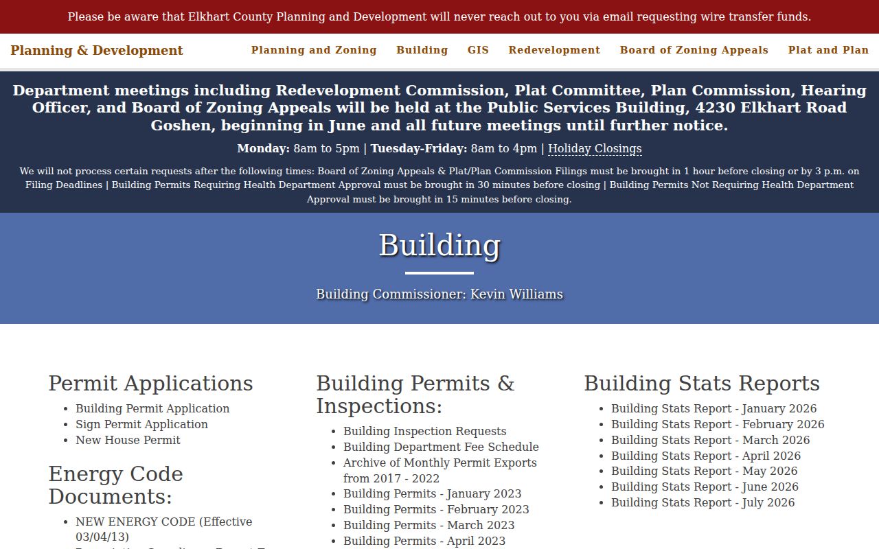
It supports building history, not a statement about who occupied the site. A request should name the exact address, record class, date span, format, and contact information.
Old Elkhart County Street Clues
No authoritative countywide renumbering table was found. When an old number fails, move to section, township, lot, subdivision, plat, and survey corner references. The county has sixteen townships, and original surveys began in the late 1820s.
The Surveyor records page lists field notes from 1829-1834, survey books from the 1830s forward, township plats, right-of-way plans, aerials, and corner records.
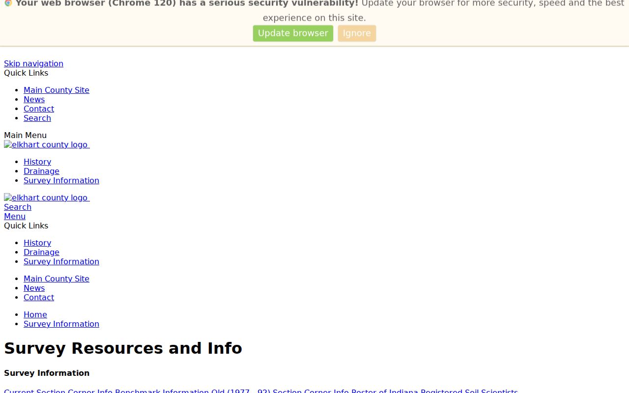
These holdings bridge a changed road label, though the office does not perform private surveys.
Goshen Sanborn maps from 1886-1926 and free 1917 sheets add footprints and street context. Reverse directories at Elkhart and Goshen libraries may add occupants. Confirm exact years with staff.
Elkhart County Voters by Street
Indiana Voters supports individual status and address checks, not a documented public street browse. Public fields may include name, address, status, precinct, district, and history. Social Security numbers, ballot choices, protected addresses, citizenship documents, and other confidential data are excluded.
A county file may be requested with State Form VRG-24, subject to policy, fees, use limits, and protected-voter review. Ask the Clerk which fields and formats may be released. Never publish a raw street list without that review.
Use address records lawfully. Public street data supports family, property, civic, and safety research. Never use it to stalk, threaten, harass, or expose a protected person.
Limits of Elkhart County Street Records
A street directory cannot name every person at an address. Parcel records identify owners and tax-mail destinations. Permits identify projects. A voter record covers one registered person whose data is public. Utility customers, school students, medical files, motor-vehicle addresses, delivery routes, and private rosters are not ordinary public street fields.
Indiana's Address Confidentiality Program and voter flag hide participant addresses. Sealed cases and redactions add deliberate gaps. A focused request can locate an open record but cannot override the law.
Use exact terms such as “owner of record,” “registered address,” “permit applicant,” or “directory occupant.” Verify uncertain matches with another official source. That keeps the Elkhart County street directory useful without turning a clue into a claim about a household.
Note: A tax mailing address may help contact an owner, but it does not prove residence at the parcel.
Elkhart County Street Search Fallbacks
Dynamic portals do not replace the offices holding the records. If Beacon is unavailable, the Assessor can help with property-record access, while the Auditor maintains ownership transfers and parcel boundaries for the tax roll. A person with a recording number can request a Recorder copy. Without that reference, use the Recorder's public computers and conduct the search directly. Laredo serves regular users, while Tapestry EON is the paid web route. Try these channels before deciding that a deed or parcel record is absent.
Historic work has another fallback chain. The Indiana State Library catalog documents nineteenth-century deeds, indexes, tract books, and county reels. Elkhart Public Library offers genealogy and local-history help, including a paid research-request form. Goshen Public Library holds directories, plats, maps, newspapers, census material, and cemetery records in its Indiana Room. For an address predating modern numbers, ask for a directory street index, a Sanborn sheet, and a plat or legal description from the same period.
Public-record requests work best when narrow. Under Indiana APRA, describe the office, record type, address or parcel, relevant names, date range, and delivery format. Ask to inspect or copy an existing record. An agency need not create a street directory, conduct legal research, or answer a broad question. Planning and Development also supplies a county request form for address, permit, plan, and GIS material.
A failed online search may reflect a spelling variant, old road name, wrong jurisdiction, index cutoff, or protected record. It does not prove that no record exists. Record the failed query and date, then change one variable at a time. That short audit trail prevents repeated work and makes a counter or library request much clearer.